 The Independent Uganda: You get the Truth we Pay the Price


Kampala, Uganda | THE INDEPENDENT & PARLIAMENT MEDIA | A heated debate on Tororo in parliament yesterday ended with the Speaker Rebecca Kadaga directing that the Ministry of Lands present findings from a recent study-visit to London aimed at resolving the impasse.
The visit to London was by a verification team of Members of Parliament from Tororo, Ministers and officials from the Lands Ministry, which was meant to acquire the colonial maps of Uganda clearly stating the composition of the units of Tororo District, and their borders.
This followed the long standing dispute on the boundaries in Tororo district and the demand from people living in Tororo county, mainly Itesot, to break away and form their own district that includes Tororo Municipality.
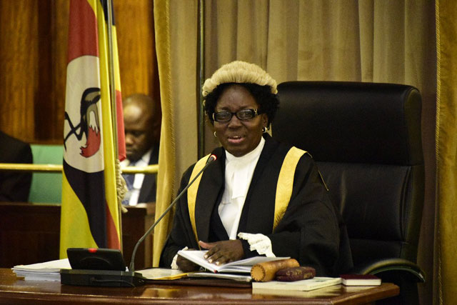
The Speaker issued the directive after the Lands Minister for a second time did not present the report on the visit to Parliament..
“I am giving you (Lands Ministry) up to 28 October when we resume business to bring that information. If you do not bring it, we are not going to handle the business of the ministry,” Kadaga said.
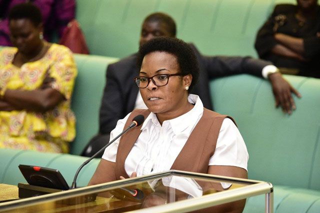
Namuganza says issue with President
The State Minister for Lands Persis Namuganza had earlier informed that House that cabinet was due to discuss the matter and a conclusive report would be brought to Parliament.
“President Yoweri Museveni who has been chairing meetings with members from Tororo district said the report is going to be perused by cabinet, have its input and after, it will be presented to the House,” said Namuganza.
The Speaker wondered why cabinet had to discuss the report two years after the matter was raised. “I do not know whether the cabinet is going to alter what was found there. What is the cabinet discussing? A map is a map!” Kadaga said.
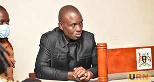
Fredrick Angura (Tororo South) raised temperatures in the House, when he presented what he said was a copy of the map acquired from London.
He told the House that there was urgent need for the report and maps to be availed by the Lands Ministry, so as to solve the impasse.
Oboth Oboth: What was in contention was the size of Tororo. Has it grown in size? We need time to debate this matter. What we used to call Tororo County was East Budama #PlenaryUg
— Parliament of Uganda (@Parliament_Ug) October 3, 2019
Hon Jacob Oboth; I suggest that we who come from Tororo are given sufficient time to present our positions on the matter. As we speak now, Tororo county was divided into 2 counties. In 2006, the issue of Tororo county was resolved. #PlenaryUg
— Parliament of Uganda (@Parliament_Ug) October 3, 2019
“We may all recall that over shs4 billion was returned to the centre because it was not absorbed in Tororo district, and Tororo country to be specific,” said Angura.
He added that, “the council lately only sits with members of West Budama who are heavily guarded to deter members from Tororo County from participating in the meetings”.
West Budama County South MP Jacob Oboth accused Angura of twisting the facts about the matter and why they traveled to London. He insisted their are different maps as the structures of Bukedi changed in the 1920, 1940 and 1960s, mentioning that the area in dispute was once referred to as East Budama.
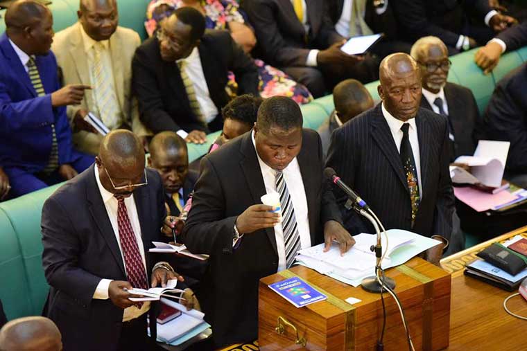
He proposed that information on the matter ought to be sufficiently presented to Parliament; in seeking a remedy to solve the border dispute that has spanned 21 years and caused unending tensions in Tororo district.
“We need time to debate this matter. I request that the next time it comes to the Floor of the House, we MPs from Tororo should be accorded enough time to give both sides of the story,” Oboth said.
The impasse over land boundaries stems from 1998 tensions where residents of Tororo County requested President Yoweri Museveni through then area Member of Parliament Paul Etiang, for their own district saying they were being marginalised.
At one rally, a resident ate a rat to show President Museveni about their eagerness and determination to get their own district in Tororo County.
One of the MPs supporting Angura said they are ready to eat something bigger than a rat, to show their demands for a separate district remain.
*****
SOURCE: Parliament Media