 The Independent Uganda: You get the Truth we Pay the Price
The lowest point on recent record is from March 1923, when the lake level was at 1133.19 meters above the m.a.m.s.l. In late 1961 and early 1962 Lake Victoria received above-normal rainfall and the lake unexpectedly rose 2.5 meters. The level rose from 1133.79 meters in January I960 to 1136.28 in June 1964. High points have been witnessed in October 1997 at 1134.21 meters and September 1986 at 1134.26 meters.
Generally, the period 2002 to 2005 saw rapid and worrying decrease in Lake Victoria water levels. The cumulative deviations from the normal regimes of rainfall and changes in the River Nile outflow were blamed. Experts noted that from 1998 to November 2004 the lake received very little rainfall. In 2004 it received the least rain and water levels dropped by 1.64 meters.
The increased outflows for power generation from June 2001 to November 2004 worsened the situation and resulted in a further fall in lake levels by 0.34 meters. The Kiira Power Station, with five hydroelectric turbine generators was completed at this time.
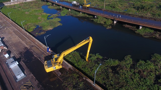
At the time, Uganda experienced sharp power shortages attributed to lower generation capacity due to lowering of lake water levels. Ferries resorted to docking in deeper waters away from the shores, commercial fish catch declined and water utility companies pushed pipes farther into the lake in search of clean water.
But there is a pattern. For years, the lake has been shrinking and scientists have worried about its reducing water levels. But in a blink, the lake has swollen to levels last seen in the 1960s.
Given the cyclical nature of Lake Victoria water levels, requires new planning. Lake Victoria collects most of its water in the months of long rains starting February and peaking in April and May. According to the Uganda National Meteorological Authority, Uganda will receive more rain until mid-June. The Lake achieves maximum levels in June. It means current water levels will continue to rise. Which is not good news.
But equally, the lake loses most water to evaporation in June and July. These are hot and dry months. Which is good news as it mean that at some point in either late June or early July, the water will stop rising. But will it recede and sink to previous levels? Possibly it will not.
According to scientists, the Lake has risen because it has got more water than usual from rainfall. That means that even if the water evaporates and flows out at the same rate as before, it will be years before it sinks to previous levels. According to the pattern, that could take another 50 years.
According to scientists, even more significant events have happened before on Lake Victoria.
Geological cores taken from its bottom show Lake Victoria has dried up completely at least three times since it formed. At another time, it broke up into several small lakes. These drying cycles are probably related to past ice ages, which were times when precipitation declined globally. Lake Victoria last dried out about 17,300 years ago, and it refilled 14,700 years ago as the African humid period began.
According the scientists, Lake Victoria is very shallow, like a very large tray placed on a table. From the shore of Lake Victoria to its deepest sections is similar to climbing from the first floor to the top of a 20-story building like the Crested Towers in Kampala. The lake is very shallow, just 40 meters deep on average and 80 meters at its deepest.
Compare that with Lake Tanganyika in Tanzania which has an average depth of 570 meters and a maximum depth of 1,471 meters or 18 times as deep as Lake Victoria. It holds an estimated a whopping 18,900 cubic kilometres of water while Lake Victoria holds just about 2,424 cubic kilometres of water. Yet Lake Tanganyika covers just 32,900 sq. km compared to the surface area of approximately 59,947 sq. km of Lake Victoria.
This means that s slight tipping of Lake Victoria can see most of Kampala, Entebbe, Masaka, Jinja and other places submerged by water. . Rising water has swept of the Kampala-Entebbe road at Kitubulu, about 2km from State House in Entebbe.
In Masaka, Bukakata Sub –County has been flooded. Landing sites of Lambu, Kaziru, Kisuku, Malembo and Kachanga have been destroyed. But even villages 20km away have been flooded. The same happened in the Kalangala and Bulago Islands.
Lake Victoria lies on an average elevation of 3,720 feet (1,134 metres) above sea level. Kampala is just 1,200 meters above sea level, a difference of about 70 meters. Entebbe, which is just 40 meters above and Ggaba, which 60 meters above at 1,140 meters above sea level, are already inundated. The facts are that if the current rate of rise in water levels were to continue, State House in Entebbe, and parliament in Kampala itself could easily find itself submerged.
As Dr Callist Tindimugaya, the commissioner for water resources planning and regulation at the Ministry of Water and Environment has said.
“The level is going up. We cannot stop the water.”
****