 The Independent Uganda: You get the Truth we Pay the Price


Kampala, Uganda | THE INDEPENDENT | The government has embraced the Geographical Information System – GIS technology in the implementation of the Parish Development Model – PDM.
President Yoweri Kaguta Museveni launched the PDM in February 2022, as an ambitious development strategy under the Third National Development Plan – NDP III to deepen the decentralization process to uplift the incomes of 39 percent of Ugandan households still reliant on subsistence farming.
Since 2011, the Energy Sector GIS Working Group under the Ministry of Energy and Mineral Development agreed and established a common utility geo-data-driven approach to identify optimal locations for renewable energy projects, ranging from solar farms to wind energy facilities.
Sidronious Okaasai Opolot, the Minister of State for Energy says GIS offers multi-layered solutions and plays a crucial role in identifying underserved rural areas that should be prioritized for energy expansion, aligning with the country’s goal of universal access by 2040 to alleviate poverty.
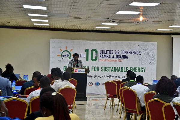
Okaasai told energy sector players at the 10th Utilities Geographical Information System conference at Hotel Africana on Thursday that the Energy Policy for Uganda 2023 which was launched early this month places high importance on energy security, and diversification to reduce dependency on volatile international markets.
The conference underscored the critical role of GIS technology, as a backbone in monitoring and implementing Uganda’s energy transition plans through data-driven decisions to ensure equitable and adequate energy access for all citizens.
“GIS technology can map out our abundant natural resources, such as hydro, solar, oil and gas, and geothermal, offering a robust framework for achieving true energy sovereignty. A vital pillar of the PDM is our comprehensive Energy Policy, specifically crafted to ignite innovation and entrepreneurship at the community level,” said Okaasai.
In his statement which was read by Eng. Cecilia Menya, the Commissioner of Electrical Power at the Ministry of Energy, Okaasai, observed that GIS technology can help the country identify optimal locations for renewable energy projects and stimulate local economies through job creation.
Edwina Ahamize, a Senior GIS Officer in the Ministry of Energy explained that the strategic incorporation of GIS into our Energy Policy, as part of the PDM, aims to harmonize economic growth as a balanced approach to propels Uganda toward a prosperous and sustainable future.
Equally, Richard Muhangi, another GIS Specialist observed that the features of GIS can help Uganda assess environmental impacts and assist in conservation efforts, thereby reducing our carbon footprint to achieve equitably sustainable, clean, and renewable energy.
The experts reason that GIS is a formidable asset in planning interconnected energy grids, optimizing resource-sharing, and sequencing investments. The Technology is also expected to help increase electricity generation capacity to a projected 52,481 MW by 2040.
*****
URN